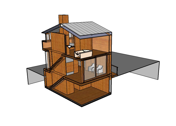
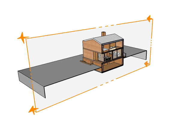
There is no such thing as a flat site (Fig 1).
Terrain, slopes, and grading are an intrinsic part of site related
projects, but many people struggle with representing terrain in a
digital form. In the 7 years I’ve been teaching students and
professionals to create models in SketchUp, the most common question I
get is how to work from a digital site survey (for example from AutoCAD)
with contours to generate a SketchUp model that integrates the site
features, like buildings, walls, roads and walks into the terrain.

Read more
Read more