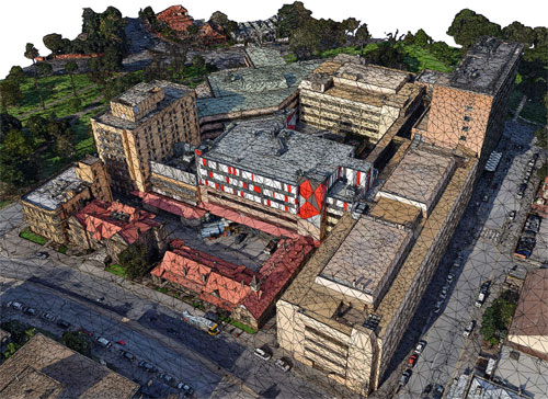
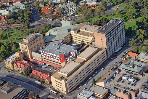
Recently some significant changes are taken place in geological surveys with the introduction of drones and Digital photogrammetry that can substitute the old manual process of 2d mapping with 3d printed models. Thus photogrammetry can automate the surveying process by producing complicated, 3D models.


Digital photogrammetry is the system of taking dimensions from digital photographs by applying remote sensing and speedy imaging to record exact positions of surface points in 2D and 3D precisely.
Drones provide immense benefits for obtaining data from regions (rocky cliffs) that are usually very tough for surveyors. Drones facilitate the surveyors to generate numerous points in quickest possible time.

Drones Imaging utilizes PhotoScan photogrammetry software to create the 3D models out of the images and data its drones produce. The images are formed with .obj format. The next level of exactitude entails 3DReshaper, which can fine-tune the 3D models and make them ready for printing.
Recently 3D printing has evolved in such a way that it can now be applied in line with digital photogrammetry and 3D modeling to create 3D printed models of the correlated data. Some leading 3d modeling programs like Sketchup comes up efficiently in transforming 2D- and 3D-survey data into functional 3D models. The advanced 3D printed is the part and parcel of this avant-garde process.

It is expected tha the 3D printing technology will advance at an alarming rate in near future and Drones Imagining can bring superior 3D printed models that will keep the accuracy of the present, smaller-scale ones.

~~~~~~~~~~~~~~~~~~~~~
Published By
Rajib Dey
~~~~~~~~~~~~~~~~~~~~~
No comments:
Post a Comment